A one-day bridge tour of Ponti Dell’Isola works best when you treat the island as a loop, not a checklist. The bridges are close enough to link on foot, but spread out enough that the order matters. Start early, ride or walk west to east, and keep the last hour free for the light that makes these crossings worth photographing. The plan below is a flexible skeleton: walking pace, one proper lunch stop, and enough slack for the bridge you will inevitably want to linger on.
Before You Set Out: Route Logic and Gear
Get a paper map from the tourist office or download one before you leave, and ask which bridges are closed for maintenance. Bridge decks, railings, and access paths are maintained on rotating schedules, so a route that worked last month may need a detour. The itinerary assumes you begin at the harbor and finish near the old town, moving broadly west to east; reverse it if your accommodation is on the other side.
Walking the full route takes most of the day at an easy pace. Cycling covers the same ground faster, but you will dismount often, especially on pedestrian bridges and in the market quarter. Choose one mode and stick to it; mixing a rented bike with long walking sections usually creates more logistics than it saves.
- Comfortable shoes with grip for stone and wet wooden decks.
- Water, a light rain layer, and sunscreen; bridge decks are exposed.
- A bike lock if cycling, plus front and rear lights for the return.
- Cash for small cafés and kiosks; not every bridge-side stop takes cards.
- A charged phone and a paper map as backup; signal can fade near the lagoon.
8:00–9:15: Harbor Footbridge and the Old Town Arch
Begin at the harbor footbridge while the fishing boats are still unloading. This is the island’s social front door, and the light comes across the water at a low angle. Stand on the downstream side for the cleanest reflection of the bridge’s underside, then cross slowly and turn back for a second shot with the harbor cranes behind you.
Walk five to ten minutes into the old town to the stone arch bridge. It is a short crossing, but the approach is the point: narrow lanes, worn steps, and a parapet that has been polished by hands and bicycles. Photograph from the lower quay rather than the bridge itself; you will get the arch, the water, and a sense of how the crossing sits in the town.
Keep this first section unhurried. It sets your pace and gives you a feel for the island’s bridge surfaces before the day gets busier.
9:15–11:00: Stone Arches, the Market Crossing, and a Coffee Stop
Follow the old town lane north to the market bridge. On market mornings it is busy with carts and shoppers, so walk your bike across and keep to the edge. The bridge itself is modest, but the approach from the market square gives you a useful photo: produce stalls in the foreground, bridge railings behind, and the water below. If the market is not running, the square is quieter and the bridge is easier to study.
From here, link two smaller stone crossings that most visitors skip. They are not signposted as major sights, which is exactly why they work. Use them to slow down, check your map, and notice how the masonry changes from one bank to the other. Cyclists can leave the bike at the market square rack and walk this short loop; it is quicker than finding a safe place to lock up at each bridge.
Photo stops that work
- Market bridge: from the square steps, low angle, include the stalls.
- First stone crossing: from the opposite bank, frame the arch with the lane behind it.
- Coffee stop: choose a table with sight of the bridge, not the square; you will see more crossings than people.
11:00–12:30: The Lagoon Boardwalk and an Early Lunch
Head toward the lagoon boardwalk before the midday heat. This is the most weather-dependent part of the route: wooden decks can be slippery after rain, and the wind picks up across the open water. Walk single file where the boardwalk narrows, and dismount if you are cycling. The bridge here is less about architecture and more about the crossing itself—reeds, shallow water, and birds working the edges.
Stop at the first bridge-side café you pass on the far side and eat lunch before the afternoon rush. Keep it simple: a sandwich, a plate of local cheese, or whatever the daily special is. You do not need a long sit-down meal; the afternoon route has the best light and you want to be moving by 12:30.
12:30–14:30: The Long Span and the Quiet North Bridges
The long span is the island’s most exposed crossing. On foot it takes ten to fifteen minutes; on a bike it is over quickly, but the wind can push you toward the railing. Cross on the leeward side, keep your speed steady, and do not stop in the middle for photos if traffic is moving. The best view is from the eastern abutment, where you can look back along the span and see the old town behind it.
From the long span, follow the northern lane to the quiet bridges. These are older, lower, and often empty. They are also the best places to see how the island’s crossings were built: shallow arches, patched stonework, and iron tie rods added later. Photograph the details—the joints, the railings, the waterline—rather than trying to fit the whole bridge into one frame.
Cyclists can add a short northern loop here; walkers should skip it unless they are ahead of schedule. The extra loop is pleasant but adds distance without adding a different kind of bridge.
14:30–16:30: The Sunset Bridge and the Return
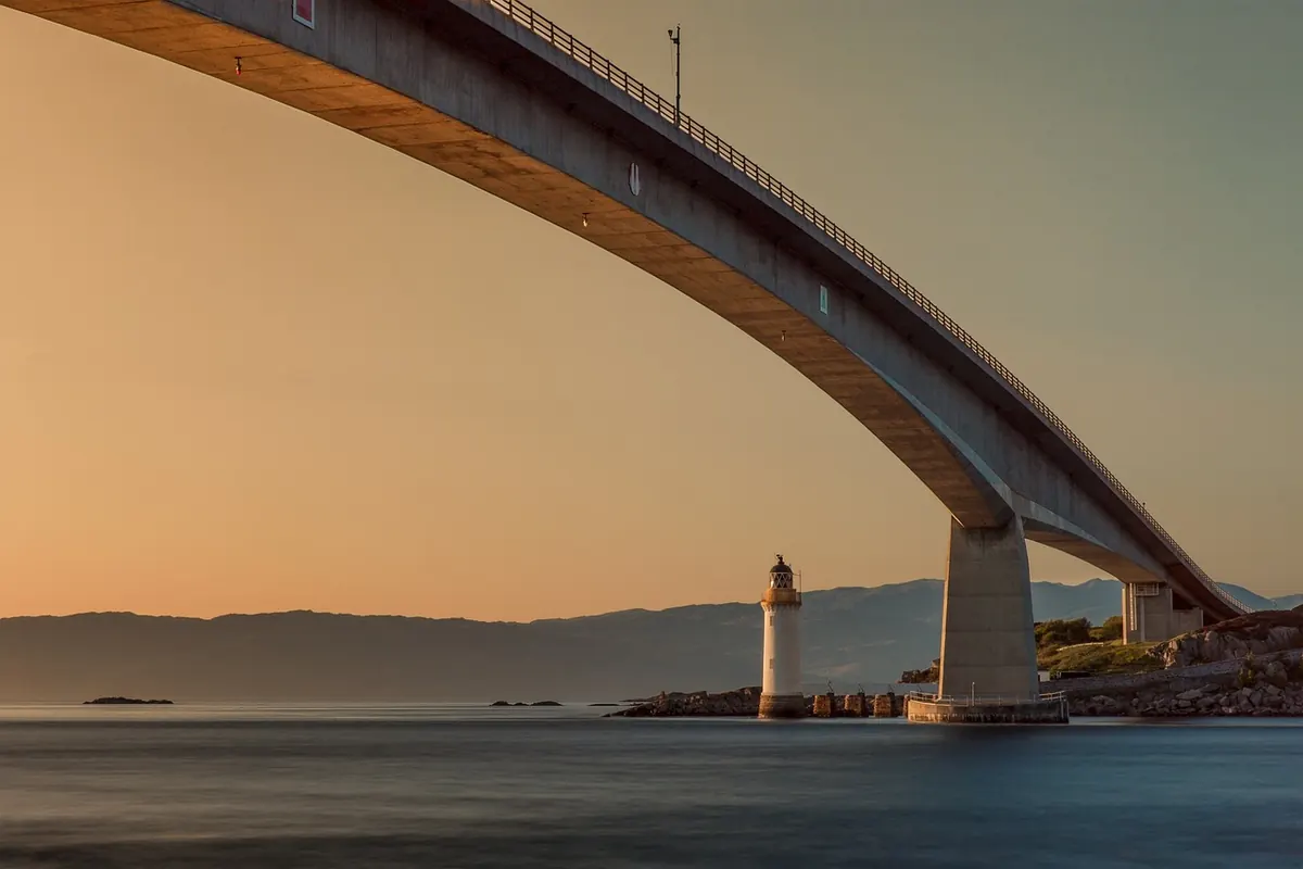
Save the sunset bridge for last. It faces west, and by mid-afternoon the light starts to come under the deck. Arrive by 15:30 if you want a bench, or 16:00 if you are happy to stand. This is the bridge for the classic shot: the span in silhouette, the water catching the sky, and the old town roofline to one side. Stay for fifteen minutes after the initial sunset color fades; the afterglow is often better than the main event.
Return to your starting point by the harbor path, which is lit and easy to follow. If you are walking, allow thirty to forty minutes; cyclists should allow fifteen to twenty and use lights. This is also the moment to check whether any bridge you skipped is still open; some close earlier than the main route, so a quick look at the noticeboard near the harbor saves a wasted detour.
Practical Notes for a Smooth Day
Bridge decks can be uneven, wet, or steep at the approaches. Wear shoes with grip, use handrails where they exist, and dismount on pedestrian bridges even if local cyclists do not. If you have mobility or health concerns, check the route’s surfaces and gradients with the tourist office or a local guide before setting out, and seek professional advice where it matters. Carry water and a snack; bridge-side cafés are not evenly spaced.
Weather changes the route more than distance does. After rain, the lagoon boardwalk and stone steps are the first places to become slippery; in strong wind, the long span is the one to postpone or cross quickly. Keep the
Photo: FrankyFromGermany / Pixabay